 AVYCAST
Haut-Var/Haut-Verdon — Avalanche Forecast
Avalanche danger in Haut-Var/Haut-Verdon (France) is 3 — Considerable, valid for Sunday, November 22, 2026. Published by Meteo France.
Danger by Elevation
Active Avalanche Problems
Problems extracted by AI from bulletin text. May be inaccurate.
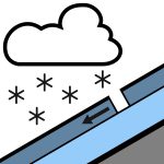
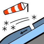
INSTABILITIES IN WIND-DRIVEN SNOW AT ELEVATION Triggering caused by: slab formations above 2400 m, under today’s wind-driven snowfalls and maintained by strong northwest wind late in the day. Present on all aspects, these slabs are easy to trigger and generally produce avalanches of medium size, or even large in accumulation areas or heavily loaded gullies at high elevation. Below 2400 m, the risk of accidents is more limited, as the snowpack is wetter and thinner. Spontaneous releases: some isolated releases of fresh snow are possible on steep slopes during the snowfalls. Small to medium size (1 to 2). Late in the day, the strong northwest wind may cause linear releases due to loading. Avalanches of size 1 to 2.
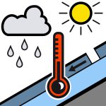
Snowpack assessment: deficient for mid-November, but increasing significantly at high elevation with the ongoing snowfalls, especially on the Haut-Verdon side. Limits of skiable snow: it is possible to put skis on locally starting from 2000/2200 m on favorable slopes of the Haut-Verdon mainly, but the rocks are often only shallowly buried below 2500 m. Thickness of the snowpack is uneven at high elevation, with significant snow transport related to the strong west wind over the past few days. Condition of the surface snow: by Sunday evening, around twenty centimeters of fresh snow can be found above 2000 m. It rests on a snowpack that has been wetted up to about 2600/2800 m. At elevation, the snow has remained cold, but has been heavily worked by the wind, with ridges and summits sometimes scoured.
Source: Meteo France · View Original Bulletin
Translated (FR)
Frequently asked questions
What does avalanche danger level 3 (Considerable) mean?
Dangerous avalanche conditions — a single person can trigger avalanches on many steep slopes; cautious route selection is essential.
How often is the Haut-Var/Haut-Verdon forecast updated?
Avycast refreshes hourly; the bulletin is republished by Meteo France usually once a day during the season.
Who publishes the Haut-Var/Haut-Verdon avalanche forecast?
Meteo France — the official warning service. Avycast aggregates and translates it; always check the original bulletin.
Nearby Regions
- Mercantour · 102 km
- Devoluy · 107 km
- Embrunals-Parpaillon · 108 km
- Champsaur · 114 km
- Ubaye · 115 km
- Alpi Marittime Orientali · 131 km