 AVYCAST
Devoluy — Avalanche Forecast
Avalanche danger in Devoluy (France) is 1 — Low, valid for Sunday, November 15, 2026. Published by Meteo France.
Danger by Elevation
Active Avalanche Problems
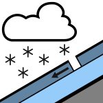
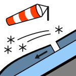
Problems extracted by AI from bulletin text. May be inaccurate.
VERY LOW SNOWFALL No avalanche activity is expected despite the snowfall, given the initial snowpack that is almost nonexistent.
Snow cover assessment: very low. This Saturday, only certain summit north-facing slopes are partially covered with snow. Skiable snow depth limit: skiing is currently impossible in the massif. Condition of the surface snow: a little fresh snow locally wind-affected on ground that was initially bare.
Source: Meteo France · View Original Bulletin
Translated (FR)
Frequently asked questions
What does avalanche danger level 1 (Low) mean?
Generally favourable conditions — avalanches are possible mainly with high additional load on very steep terrain.
How often is the Devoluy forecast updated?
Avycast refreshes hourly; the bulletin is republished by Meteo France usually once a day during the season.
Who publishes the Devoluy avalanche forecast?
Meteo France — the official warning service. Avycast aggregates and translates it; always check the original bulletin.
Nearby Regions
- Champsaur · 14 km
- Oisans · 42 km
- Pelvoux · 49 km
- Grandes-Rousses · 53 km
- Vercors · 55 km
- Embrunals-Parpaillon · 63 km